
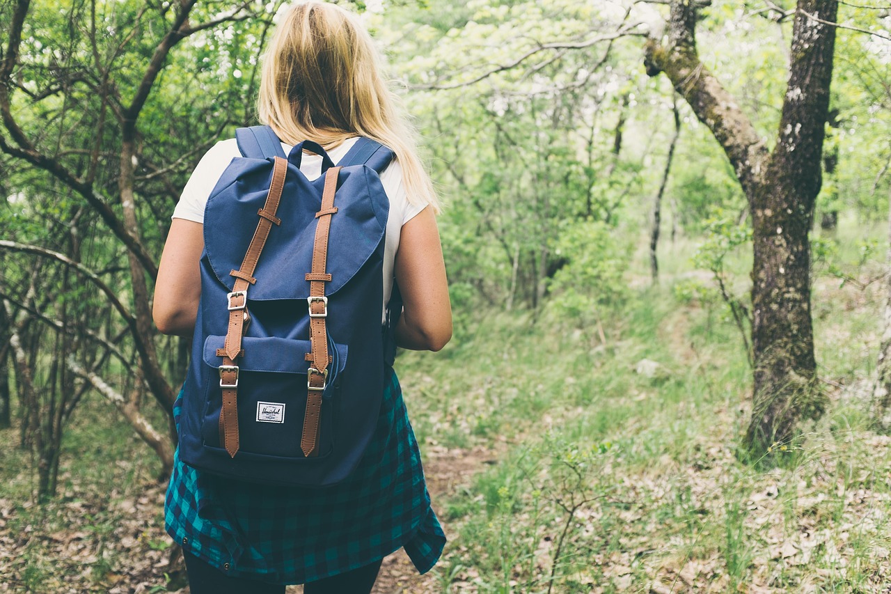
The Roman countryside also includes mountainous areas ideal for trekking and nature photography. There are several paths, most of which are within everyone’s reach. Pope Karol Wojtyla was an admirer of this area to relax and contemplate nature during long walks along the paths of the Prenestini Mountains.
Lazio reserves wonderful surprises for those who venture into its most hidden corners, rewarding the traveler who abandons the classic views of tourists and the main stops of the latter. One of the lesser-known gems of Central Italy region are its mountains, in particular the marvelous Monti Prenestini, an area of the Roman Countryside where the green dominates.
Their name derives from the ancient Via Prenestina, which connected, and still connects, the capital with Palestrina, a town located within the metropolitan area of Rome. As it is easy to guess from the name, they are located in the province of the capital, in the south east, and the proximity to Rome makes them ideal as a Sunday trip destination for many people who will come from the Eternal City.
Recently, the Prenestini Mountains, are also becoming an area with huge tourist potential, especially for outdoor activities, such as trekking.
Prenestini Mountains
Of limestone origin, the Prenestini Mountains are a chain of mountains that belongs to the complex of the Lazio sub-appenino. They are included between the Tiburtini Mountains with which they border on the northern slope and the Ruffi Mountains, on the eastern and northern sides.
From both the other two chains are divided with two waterways, respectively the Fosso d’Empiglione and the Fiumicino stream. They are also easily reachable from the highway …
They are composed of several peaks, some of which exceed 1,000 meters of altitude. The highest peak is that of Guadagnolo mountain, which rises to 1,218 meters above sea level.
It is there that the homonymous small town is found that is also the only fraction of the municipality of Capranica Prenestina. On the southern slope of Guadagnolo mountain, there is the suggestive Sanctuary of the Mentorella.
Another peak noteworthy for its altitude is Monte Cerella, not far from Guadagnolo, which rises to just over 1,200 meters above sea level.
Where to Hike in the Roman Countryside
The Sentiero delle Creste
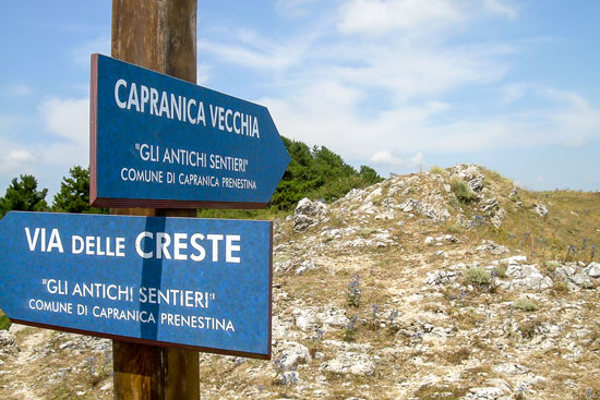
One of the best trails for trekking, and also one of the most impressive, is the path that starts from the town of Capranica Prenestina near Guadagnolo, and runs along the ridge that connects the two countries (the sentiero delle Creste).
This is an ideal itinerary for the less experienced walkers, or even for those who want to go for a walk in the nature, as Guadagnolo, the destination of arrival, is well visible.
There is therefore no risk of making a mistake even if you are not equipped with orientation tools.
The view from this path is really beautiful and, on a sunny day, you can see all the main mountains of the central Apennines down to the sea.
The difference in height in this path is about 300 meters, so it can be handled even by families with children. The time to get from one point to another is about 2 hours.
The route is located inside the Phytoclimatic unit 2 (Blasi, 1994) with an altitude of 700 / 1,218 meters b.s.l.
Features:
| Departure | Capranica Prenestina |
| Arrive | Guadagnolo |
| Difference | 300 meters |
| Itinerary | Marked |
| Rise Time | 2 hours |
Guided Tours
You can take excursions accompanied by local professional guides every day. For guests of Italy Where Else, you can request to organize the excursion during your stay in the countryside of Rome.
Spina Santa Trail
Another perfect route in the Prenestini mountains is the one that leads to the peak known as Spina Santa. This path is also for all skill levels, including younger children and seniors.
It allows you to enjoy a unique panorama, which you can enjoy during the walk. The difference in height is approximately 200 meters.
The Path of Pope Wojtyla

Another really inviting path is dedicated to Pope Karol Woitijla, who particularly loved this area of the Roman Countryside. The Saint loved to follow this path during his prayer retreats in the Sanctuary of Mentorella.
The trail is marked in the CAI toponymy by the number 502bis. It is easily accessible thanks to the indications on the track. This trail starts from the town of Pisoniano (532 meters above sea level) and continues for about 6 kilometers, reaching up to Guadagnolo.
Features:
| Lenght | 6 Km. |
| Duration | 3 hours |
| Difficulty Level | Easy |
| Difference | 700 meters |
| Departure | Pisoniano |
| Arrive | Guadagnolo |
For fans of Naturalistic Photography
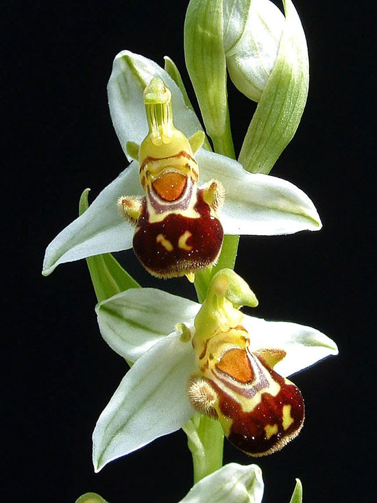
This aspect makes the mountains of the Roman countryside, also ideal for nature photography fans. For them, the Prenestini Mountains offer several interesting ideas, such as the landscapes, the many varieties of orchids and wild animals such as the Felino dei Monti Prenestini, the Black Squirrel and many other species.
Ideal periods for Trekking in the countryside of Rome
The Monti Prenestini are particularly indicated in the spring season, when they shine in the total of their blooms. But even the mild autumns, characteristic of this area, are an excellent time for trekking. In the summer then, the tops of the mountains are almost never characterized by extreme heat.


Comment (0)